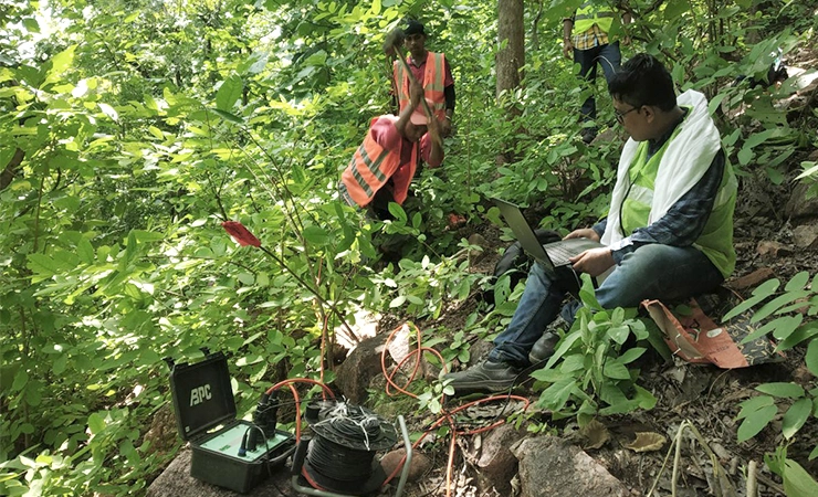
Geophysical study is crucial for assessing subsurface conditions, helping in natural resource exploration, environmental monitoring, and infrastructure development. By using techniques like  Seismic surveys, ERT, SRT and NDT, we provide valuable data to inform decision-making, ensuring the safety, sustainability, and
  efficiency of engineering and construction projects.
Geophysical study is crucial for assessing subsurface conditions, helping in natural resource exploration, environmental monitoring, and infrastructure development.
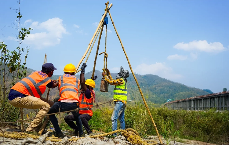
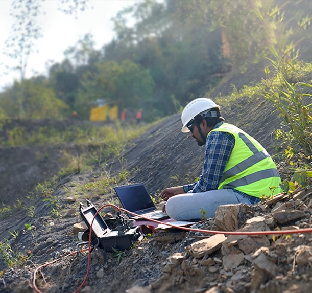
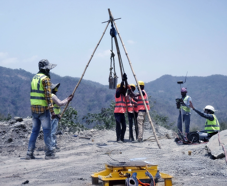
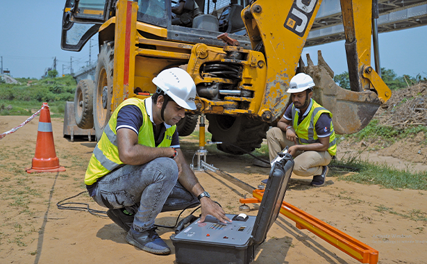
Geophysical study isn’t just about digging deep – it’s about understanding what’s beneath our feet! From seismic surveys to electrical resistivity tomography (ERT) test, we provide vital data for construction projects like tunnel stability and bridge rehab. We supply the tools and expertise to ensure your project stands tall – with no surprises underground!
Choose BPC for your geophysical investigation needs because we bring precision and innovation to every project. With our top-notch equipment for seismic surveys, ERT, and non-destructive testing (NDT), GIS services,.cloud data mapping, web mapping services, engineering survey and testing, we ensure accurate results that help you avoid costly surprises. Let us dig into the details while you focus on building the future!
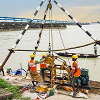
20+ Static and Dynamic cone penetration test
10+ Specialize Field Test
- Advanced geophysical studies for resource exploration and monitoring.
- Reliable seismic, ERT, NDT, and survey solutions.
- Expertise in infrastructure stability and environmental assessments.
Our Core Capabilities withGEOPHYSICAL STUDY
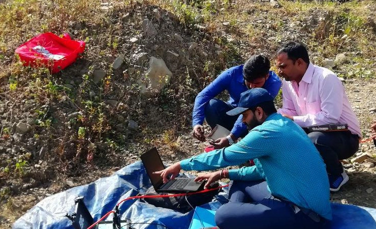
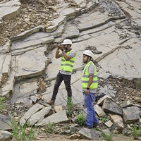
At BPC India, we specialise in providing comprehensive geophysical studies with advanced instruments, offering services in Eastern and North Eastern India.
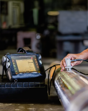
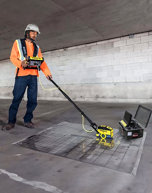
Our expertise spans across seismic, NDT, ERT, and electromagnetic surveys, essential for geothermal exploration, earthquake risk mitigation, and environmental monitoring.
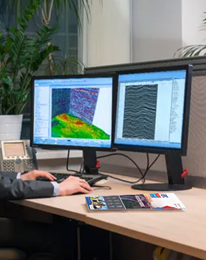
We ensure precise subsurface mapping, supporting critical infrastructure, resource exploration, and hazard assessment with cutting-edge technologies in Kolkata, and Guwahati and other North East regions.
- VSP Vertical Seismic Profiling
- Groundwater table investigation
- Deep and shallow foundation design
- Landfill delineation
- 2D and 3D reflection seismic
- Bulk Resistivity of the Sub-surface
- Mapping of depth to bedrock
- Seismo Acoustic underground networks
PROJECTSGeophysical Case Study


Application
Highway
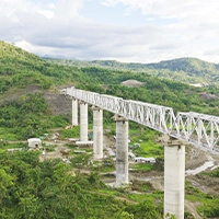
Bridge-Flyover
Water Dam
Power Plant
- Thermal Power Project
- Rehabilitation of Old Masonry Project
- Solar Power Project
- Refineries and Petrochemical projects
- Ground Improvement projects
- Foundation Testing
- Design of Earth retaining structures
- Steel plant
Related Services
Geological Mapping
Geotechnical Engineering
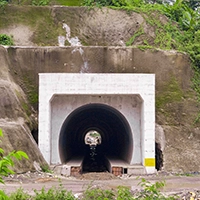
Tunnel Design
Bridge Design
FAQs
Q-1 What types of geophysical methods are used for site analysis?
Q-2 How do geophysical surveys help in assessing soil stability?
Q-3 Can geophysical studies detect underground water or utilities?
Q-4 How long does it take to complete a geophysical survey?