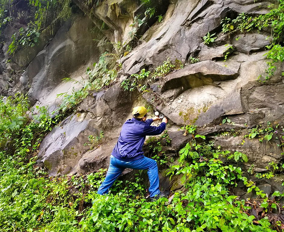
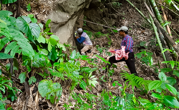
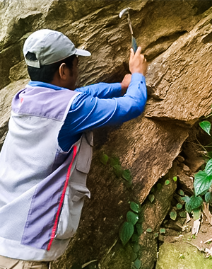
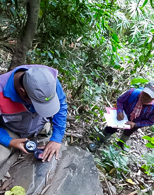
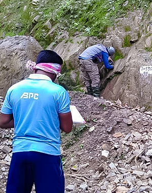
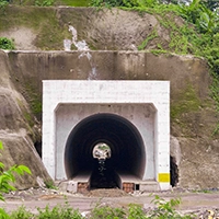
At BPC India, we specialise in geological mapping that uncovers the secrets of the 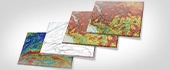 earth’s surface and subsurface. Our expert team ensures that your projects - whether it's
 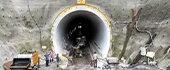 tunnels or dams - are built on solid ground. With our precise mapping, we turn complex geological data into actionable insights, keeping your infrastructure strong and secure.
Choose BPC India for your geological survey and mapping, and you’ll be in good hands.
We use advanced techniques to map geological features accurately, ensuring your projects are safe and sound. Our expertise in seismic profiling and groundwater investigations gives you the confidence to build on solid foundations.
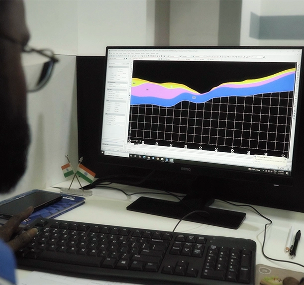
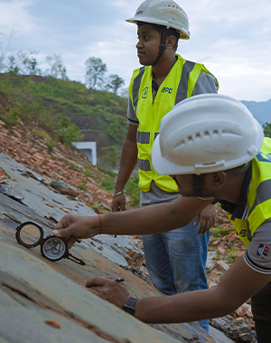
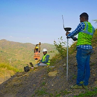
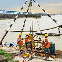
BPC India offers a comprehensive range of geological mapping services in Eastern India, including seismic microzonation, vertical seismic profiling, groundwater table investigation, and landfill delineation. Our team specialises in creating detailed 2D and 3D reflection seismic maps and assessing subsurface conditions to ensure your infrastructure projects are based on accurate, reliable data for optimal performance.
20+ Static and Dynamic cone penetration test
10+ Specialize Field Test
- Detailed seismic profiling for accurate subsurface analysis.
- Groundwater investigations to assess site suitability and risks.
- Comprehensive geological maps for informed engineering decisions.
Our Core Capabilities withGeological Mapping
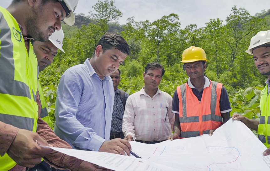
Our qualified engineers and geologists provide the following services
BPC India is capable of conducting all geotechnical and geophysical studies for Siesmic Microzonation, earthquake risk mitigation studies, and a multidisciplinary approach from the fields of geology, geophysics, geotechnical, and structural engineering.
- VSP Vertical Seismic Profiling
- Groundwater table investigation
- Deep and shallow foundation design
- Landfill delineation
- 2D and 3D reflection seismic
- Bulk Resistivity of the Sub-surface
- Mapping of depth to bedrock
- Seismo Acoustic underground networks
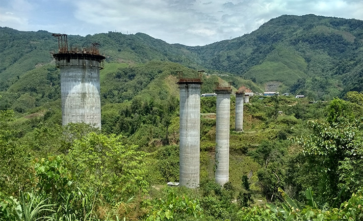
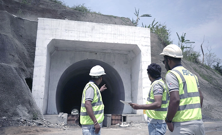
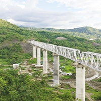
ProjectsGeological Mapping Case Study


Application
Highway
Bridge-Flyover
Water Dam
Power Plant
- Thermal Power Project
- Rehabilitation of Old Masonry Project
- Solar Power Project
- Refineries and Petrochemical projects
- Ground Improvement projects
- Foundation Testing
- Design of Earth retaining structures
- Steel plant
Related Services
Geophysical Study
Geotechnical Engineering
Tunnel Design
Bridge Design
FAQs
Q-1 What geological mapping services does your company offer for site selection in construction projects?
Q-2 How does geological mapping support environmental impact assessments for construction projects?
Q-3 What techniques do you use to ensure the accuracy of geological maps for large-scale infrastructure projects?
Q-4 Can geological mapping help identify natural resources on a project site?